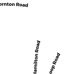
37 THORNTON RD
Owner Information
WILDER, MICHAEL & HEATHER
37 THORNTON RD.
WALTHAM, MA 02453-7713


Property Details
37 THORNTON RD is classified as a Single Family Residential (Colonial).
The primary structure on this property was built in 1999. There are 2,604ft2 of built area within this property. There is 2,604ft2 of residential/living space within this property.
37 THORNTON RD is valued at $728,200. The land is valued at $320,100 and the structures are valued at $408,100.
The most recent deed for 37 THORNTON RD is recorded at the local registrar in Book 51449, Page 307-30. 37 THORNTON RD was last sold on Thursday, July 17, 2008 for $561,000.
Assessment data from fiscal year 2022.
Flood Data
According to the FEMA National Flood Hazard Layer, this property does not appear to be in a flood zone. It may also be in an area not yet reviewed. Nonetheless, confirm this information prior to taking any action.
To view the flood hazards around this property, create a FEMA "Firmette" Map of the area around 37 THORNTON RD.
Broadband Internet Providers
| Provider | Type | Bandwidth (mbps) | |
|---|---|---|---|
| VSAT Systems, LLC. | Satellite | 2 | 1 |
| Viasat Inc | Satellite | 100 | 3 |
| Verizon New England Inc. | Fiber | 940 | 880 |
| Comcast | Cable | 1000 | 35 |
| RCN | Cable | 500 | 20 |
| GCI Communication Corp. | Satellite | 0 | 0 |
| HughesNet | Satellite | 25 | 3 |
| Crown Castle Fiber | Fiber | 0 | 0 |
Broadband service provider data from December 2020.
Adjacent Properties
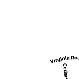
- 56 VIRGINIA RD
Single Family Residential owned by ROSOLKO, MARK & LINDA - 60 VIRGINIA RD
Single Family Residential owned by HUTCHINSON, SAMUEL H & AMY E. - 66 VIRGINIA RD
Single Family Residential owned by RICH, FRANK D. & JESSICA - 41 THORNTON RD
Single Family Residential owned by BRIGGS, DANIEL B. & MEREDITH M - 33 THORNTON RD
Single Family Residential owned by MEHTA, DHAIRYA K. & DIPAL M.